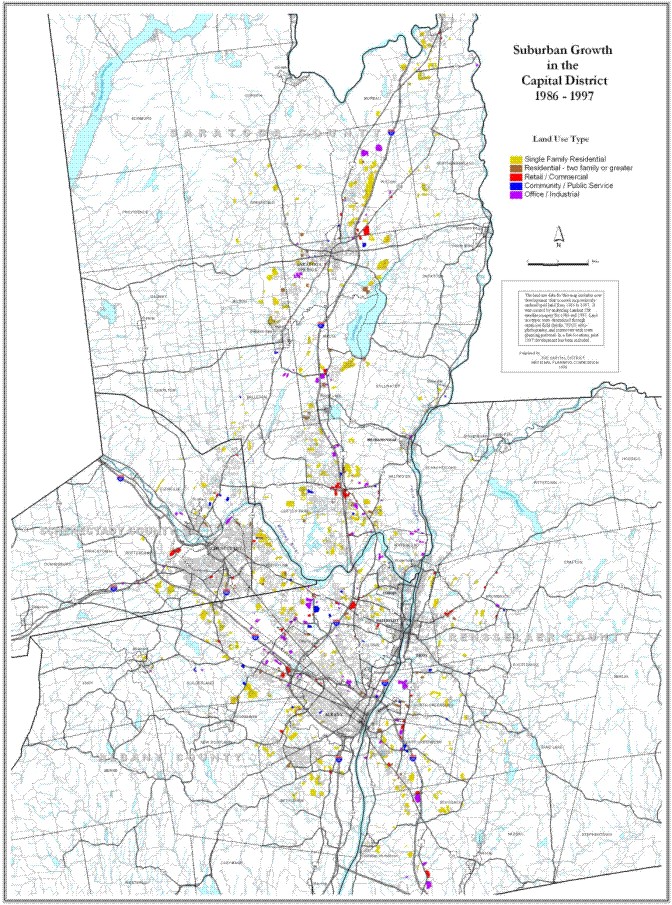
The land use data for the map linked below includes new development which occurred on previously undeveloped land from 1986 to 1997. It was created by analyzing Landsat TM satellite imagery for 1986 and 1997. Land use types were determined through extensive field checks, USGS orthography, and interviews with municipal planning officials. In a few locations, post-1997 development has been included.

The Capital District Regional Planning Commission publishes an atlas of Regional maps, the Capital District Atlas. For more information see CDRPC Publications.
 Return to CDRPC Home Page