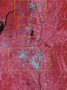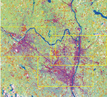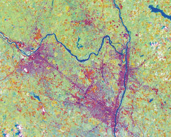
False Color Composite Satellite Image of the Greater Capital Region
Click Within Outlined Areas for Greater Detail
This Testing Section is Under Heavy Construction!
 |
Clickable Image Map False Color Composite Satellite Image of the Greater Capital Region Click Within Outlined Areas for Greater Detail |
|---|
 |
Clickable Image Map False Color Composite Satellite Image of the Central Capital Region Click Within Outlined Areas for Greater Detail |
|---|
 |
Clickable Image Map False Color Composite Satellite Image of the Central Capital Region Click Anywhere Within the Map for Greater Detail |
|---|
 Return to GIS Atlas Sample Map Page
  Return to CDRPC Home Page